The weather is at the forefront of everyone’s minds and for good reason, because the National Weather Service is calling for major flooding, along with nearly continuous risks for severe weather from Wednesday through Saturday.
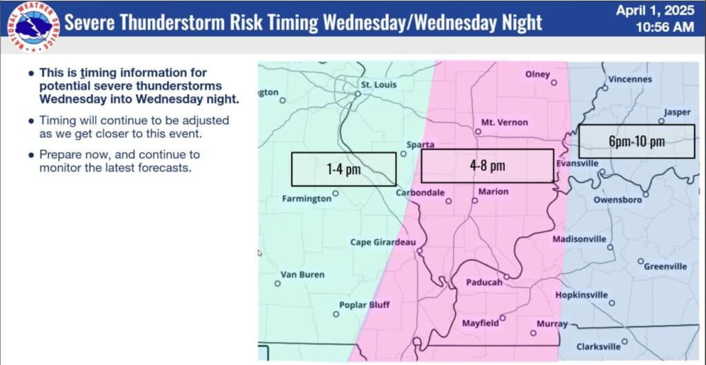
Parts of western Kentucky, including Christian, Todd and Trigg Counties are currently under a Moderate Risk for severe weather on Wednesday. Meteorologist Justin Gibbs with the National Weather Service in Paducah says a cold front will move into the area Wednesday afternoon and evening, and with it comes heavy rain, along with potentially large hail, damaging winds and a few tornadoes.
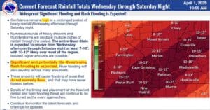
The problem is, that front will then basically park itself in our area and continue to churn out storms and likely an absurd amount of rain. Major flooding is certainly a possibility, with some places in western Kentucky forecasted to maybe see between 10 to 12 inches of rain between Wednesday and Saturday, with locally higher amounts possible.
Another cold front on Saturday will push that stalled one out of the area, but that does mean the severe risk will peak that day, once again bringing all severe hazards to western Kentucky. Gibbs really wanted to impress just how dangerous the flooding could become, telling people to prepare the best they can now.
Travel impacts are likely, so remember—turn around, don’t drown. There is already a Flood Watch in effect for all of western Kentucky, including Christian, Todd and Trigg Counties.
Right now, forecasters are thinking that Wednesday’s severe weather will be in the after into the evening, possibly from roughly 3 p.m. to 10 p.m., though that is still subject to change. Stay tuned to the National Weather Service in Paducah and the WHOP Family of Stations for more on this developing severe weather system.


