The National Weather Service has been serving the country in 1870—and times have certainly changed since then, bringing new technologies, science, communications and weather patterns.
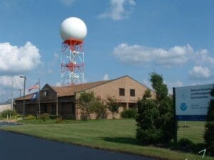
A little closer to home, the National Weather Service in Paducah has been serving their 58-county region in the 1980’s, and members of their team visited several media outlets in recent weeks, looking to provide information and see how they can best serve their communities. Warning Coordination Meteorologist Christine Wielgos and Lead Forecaster Keith Cooley made a stop by WHOP this week, and they talked about the ever-changing world of meteorology.
Wielgos has been with the NWS for nearly 25 years and Cooley for 13 years, so they’ve both covered their fair share of events, both routine and historical. One such event that sticks out for Wielgos is the 2005 Evansville tornado and, of course, December 10, 2021.
Cooley says 2024 itself has been a very busy year for tornado and severe storm warnings, and he’s hoping that doesn’t stay the case for the fall severe weather season—though he urges people to go ahead and prepare now.
He says the National Weather Service has its fair share of challenges it faces, but they work hard to serve their communities and bring them important information in a way they can understand.
As for Tornado Alley, Wielgos says she doesn’t think its shifted so much as it has expanded—she says radar and data gathering tools have improved so much over the last 20 years that what may look like an increase in tornado incidents is actually just an increase in accurately reporting them.
Both Wielgos and Cooley agreed that one of their least favorite types of events to cover is snow and ice events, because they’re so tricky to forecast and because they can have widespread, devastating impacts.
The National Weather Service in Paducah is constantly providing vital information on their Facebook and Twitter pages, or you can visit them online on weather.gov.


